Utility Locating
Utility locating is the process of accurately identifying and mapping underground infrastructure using advanced Ground Penetrating Radar (GPR) technology—an essential step before any ground disturbance. This proactive approach helps prevent costly damage, ensures on-site safety, and avoids service disruptions during construction or excavation. Our certified technicians use industry-grade equipment and adhere to all local regulatory standards, ensuring accurate, compliant, and clearly visible markings. Whether you’re preparing for a new development, roadwork, or utility upgrade, our team delivers reliable results to keep your project safe, efficient, and on schedule.
Key Utility Locating Aspects
We locate and mark the following underground utilities:
• Electrical Lines
• Communication Lines
• Fibre Optic Cables
• Gas Lines
• Water Lines
• Conduits & Ducts
• Stormwater Pipes
• Drainage & Sewer Lines
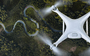
Our team collects data on natural and man-made features including elevation changes, trees, buildings, roads, drainage patterns, and utility structures using advanced surveying equipment . These surveys serve as a critical foundation for design, permitting, and construction decisions, helping reduce costly surprises later in the project.
By delivering accurate and up-to-date topographic data, AA Locates empowers clients to plan with confidence, streamline workflows, and meet regulatory requirements with precision.